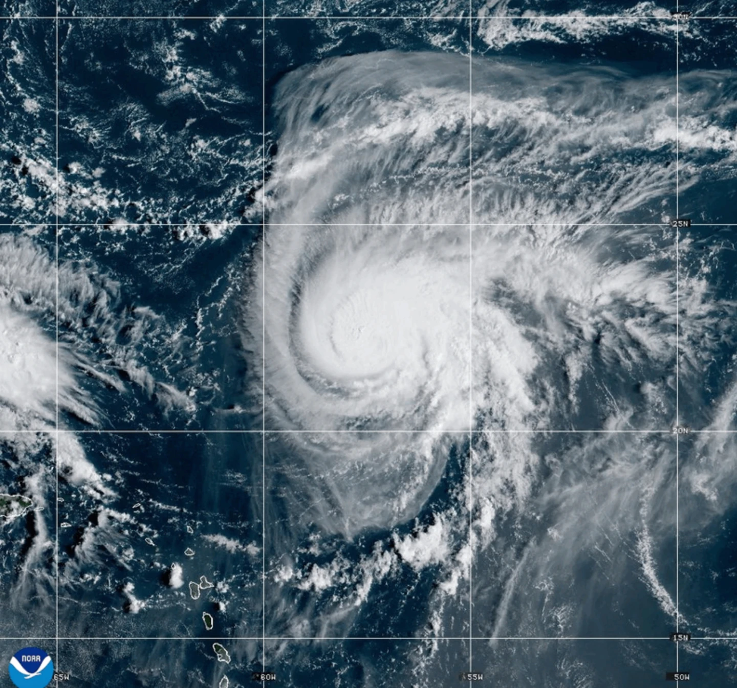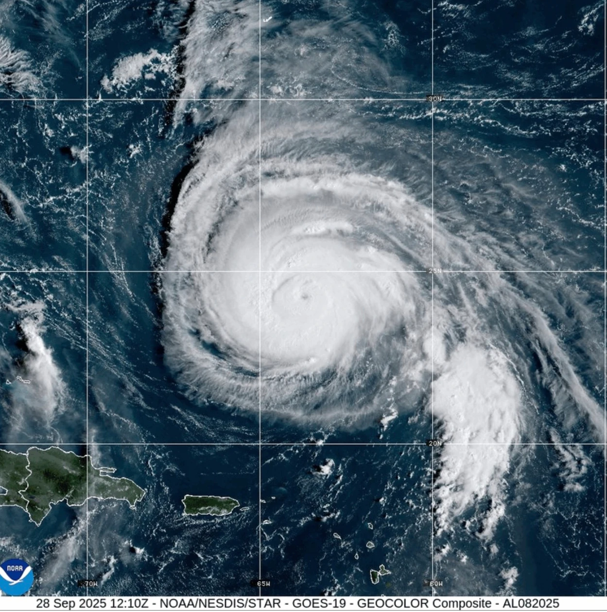
MIAMI — Hurricane Humberto, currently a formidable Category 4 storm in the Atlantic, is predicted to produce dangerous surf for Bermuda and the U.S. East Coast this week. Tropical Storm Imelda, which is intensifying near the Bahamas, could exacerbate the situation.
As of early Monday, Humberto was situated about 400 miles south-southwest of Bermuda, advancing northwestward at 14 mph with sustained winds reaching up to 140 mph. A Tropical Storm Watch remains in effect for Bermuda, with the National Hurricane Center warning of potential changes in the storm's intensity as it approaches the eastern coastline.
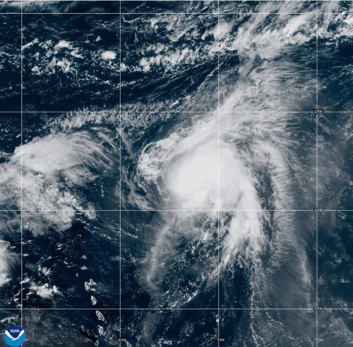
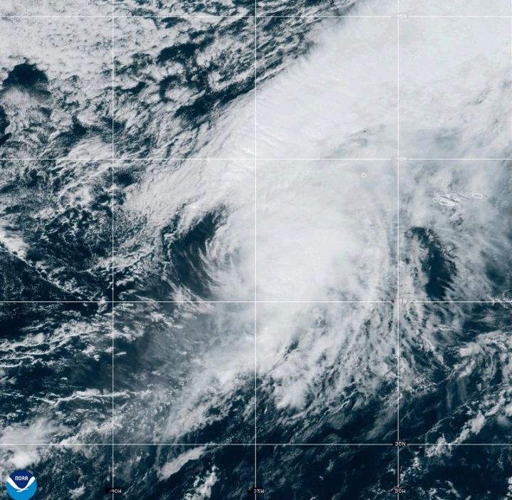
In Northeastern regions, heavy surf and strong winds associated with Humberto are expected to persist over the next couple of days, potentially leading to coastal flooding and beach erosion. Imelda, having formed on Sunday, is close to the Bahamas and moving northward. Forecasters project that it could strengthen further, impacting parts of Florida as well.
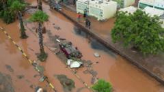
The storm is already causing disruptions. The Bahamas’ Department of Meteorology has issued warnings as heavy rains of up to a foot are anticipated across the central and northwest islands, leading to flash flooding concerns. Low-lying residents are advised to take actions to mitigate the risk to their properties.
In anticipation of Imelda's landfall, severe weather preparations are underway, particularly in South Carolina, where Governor Henry McMaster is urging local authorities to prepare for potential emergency responses. Similarly, North Carolina has already declared a state of emergency in readiness for any impacts from the storm.
As residents face the threats from Humberto and Imelda, officials emphasize the importance of staying informed and prepared, as the exact paths and impacts of such storms can shift unexpectedly.