Residents prepare for potential impacts as coastal areas brace for heavy rains, hazardous surf, and possible evacuations.
Hurricane Erin Intensifies, Threatening US East Coast with Dangerous Conditions

Hurricane Erin Intensifies, Threatening US East Coast with Dangerous Conditions
Hurricane Erin escalates to Category 4, posing risks of life-threatening surf and currents along the US East Coast.
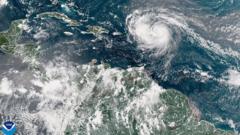
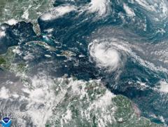
Hurricane Erin has escalated into a formidable Category 4 storm, now threatening the eastern United States with perilous surf and rip currents. The storm's rains have started to impact the southeastern Bahamas and the Turks and Caicos Islands, where a tropical storm warning is currently in effect. Although Erin is not predicted to make landfall on these islands, residents are bracing for significant rainfall accumulation of up to six inches (15.2 cm).
As the initial hurricane of the 2025 Atlantic season, Erin underwent rapid intensification over the weekend, briefly reaching Category 5 status before fluctuating in strength. The aftermath of this powerful storm has already left more than 150,000 individuals in Puerto Rico without electricity due to fierce winds damaging power lines. Local energy provider Luma reported successful emergency repairs, restoring power to 95% of its customers by Sunday evening.
The Bahamas is already feeling the effects of the hurricane's outer rain bands, prompting the country's Disaster Risk Management Authority to issue preparedness advisories. Managing director Aarone Sargent urged residents to familiarize themselves with nearby shelters, emphasizing the unpredictable nature of such storms and the potential for sudden shifts in direction.
The U.S. National Hurricane Center (NHC) forecasts that Erin's core will track east of the southeastern Bahamas today and is expected to move between Bermuda and the US East Coast by midweek, remaining a “large and dangerous hurricane” throughout its journey. Local authorities in the Outer Banks of North Carolina have issued a mandatory evacuation order for Hatteras Island, cautioning that the primary highway connecting the island to the mainland could become impassable.
With warnings of hazardous rip tides affecting the entire US East Coast, residents are being advised to stay alert and heed guidance from local authorities as Hurricane Erin approaches.


