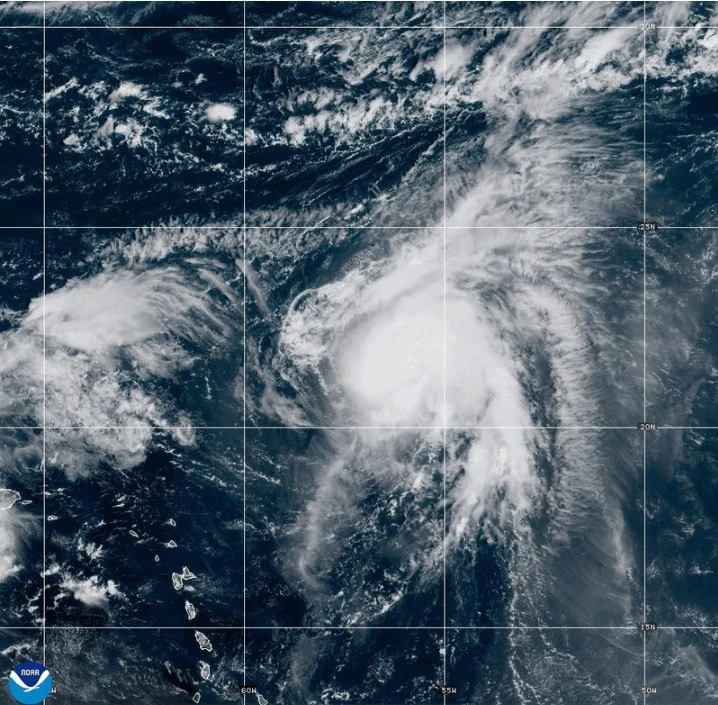
MIAMI (Echosphere.news) — A weather system currently designated as Tropical Depression Nine is expected to evolve into Tropical Storm Imelda later today before making its way towards South Carolina early next week as a potential hurricane, causing disruptions in the Bahamas and adjacent islands.
Additionally, Hurricane Humberto has slightly weakened but continues to pose a significant threat as a strong Category 4 storm in the Atlantic, menacing Bermuda with its powerful winds.
South Carolina Governor Henry McMaster has urged residents to closely monitor developments and maintain preparedness. Meanwhile, North Carolina Governor Josh Stein has declared a state of emergency in anticipation of the incoming weather system.
Forecasters predict that the system will become a tropical storm later today, followed by the transition into a hurricane by late Monday or Tuesday. Tropical Storm Imelda would follow suit.
As of 0900 GMT today, the weather system was spotted around 100 miles (160 kilometers) west-southwest of the Central Bahamas, moving north-northwest at 7 mph (11 kph) with maximum sustained winds at 35 mph (55 kph).
Gov. McMaster emphasized the uncertainty surrounding the storm's path: “What we learn every time is we never know where they are going to go. This storm is deadly serious.”
Projected high winds and heavy rainfall could lead to significant flooding, prompting the state to preposition search and rescue teams over the weekend.
Hurricane Humberto Maintains Threat Level
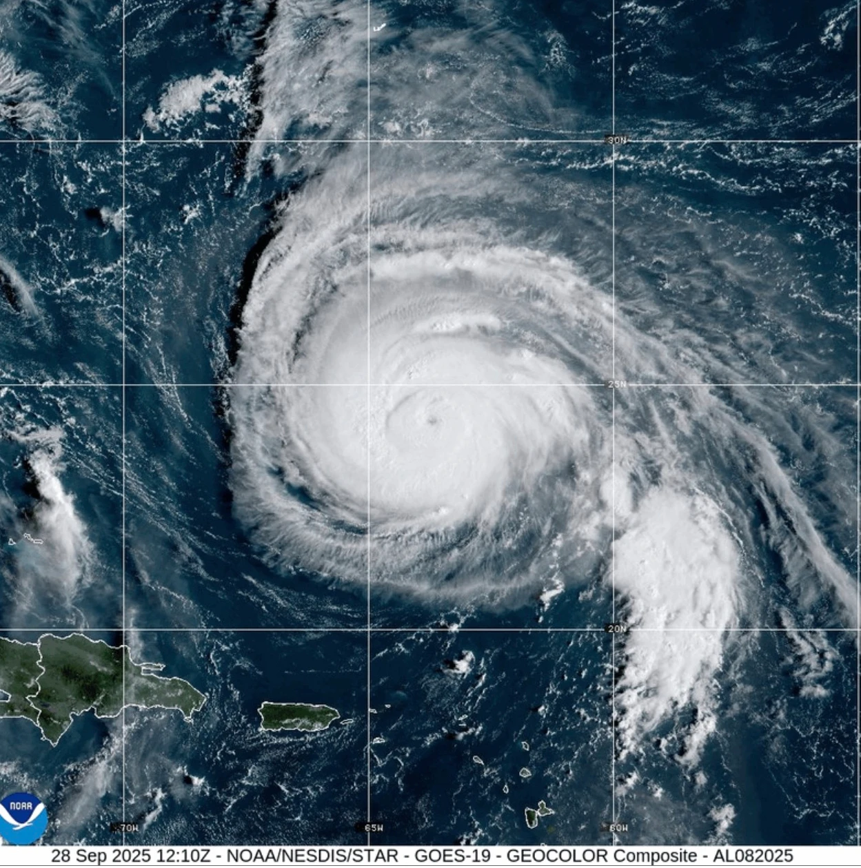
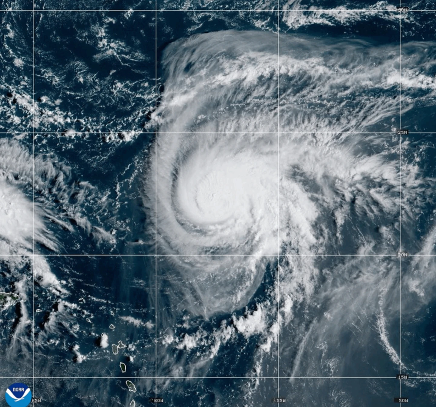
Hurricane Humberto currently has maximum sustained winds measuring 155 mph (250 kph) according to the National Hurricane Center in Miami. It is located approximately 585 miles (945 kilometers) south of Bermuda and is advancing west-northwestward at 13 mph (20 kph).
A tropical storm watch may soon be issued for Bermuda, anticipating swells that could reach the U.S. east coast tomorrow.
Tropical Depression Nine also threatens Cuba and the Bahamas with heavy rainfall and potential flash flooding, prompting warnings in parts of the Bahamas.
The Department of Meteorology in the Bahamas has urged individuals in the northwest and central islands, including Nassau, Andros Island, San Salvador, and Long Island, to make necessary preparations for approaching tropical storm conditions.
“Residents in low-lying areas should take actions to mitigate property damages due to flooding,” the agency stated.
Furthermore, this tropical disturbance previously unleashed heavy rains on the Dominican Republic on Friday, leading authorities to evacuate hundreds of citizens and declare a red alert across five provinces.
In the Pacific
Meanwhile, Tropical Storm Narda, which was once classified as a hurricane, is currently located approximately 1,045 miles (1,680 kilometers) west-southwest of Mexico’s Baja California Peninsula, moving north at 5 mph (7 kph). Its maximum sustained winds are recorded at 60 mph (95 kph).
The swells induced by Narda are affecting coastal areas in Mexico and Baja California Sur, with life-threatening surf and rip current conditions expected in Southern California.