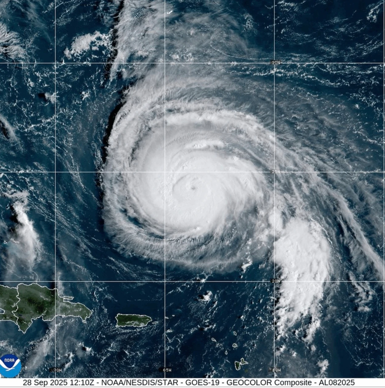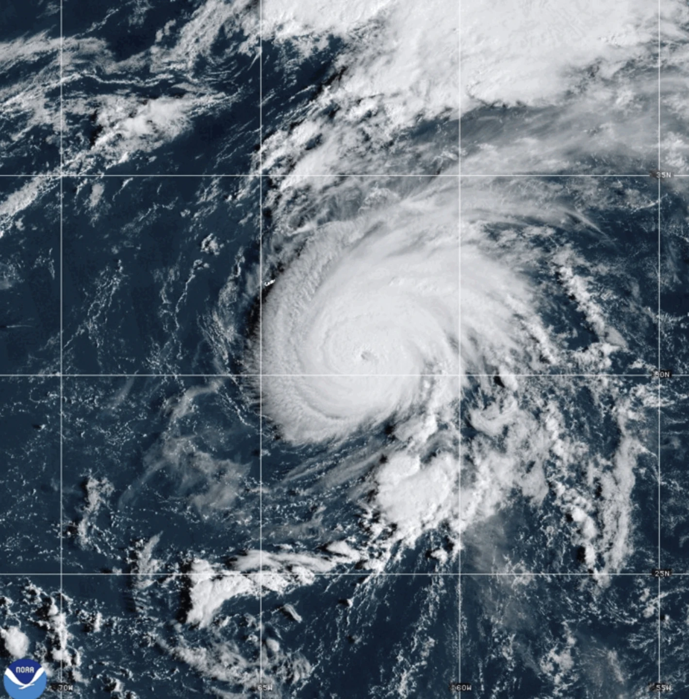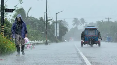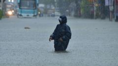
MIAMI (Echosphere News) — Hurricane Gabrielle is on course to impact the Azores islands with severe weather conditions, including torrential rainfall, high winds, and dangerous storm surges beginning Thursday night. The Miami-based National Hurricane Center has issued a hurricane warning for the entire volcanic archipelago, underscoring the urgency for residents to complete their storm preparations.<\/p>
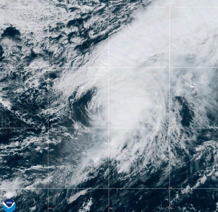
As of Thursday afternoon, Gabrielle was located approximately 455 miles (730 kilometers) west of the Azores, boasting maximum sustained winds of 75 mph (120 kph) and moving eastward at a rapid pace of 32 mph (52 kph). Coastal areas are expected to experience life-threatening surf and rip currents, with significant waves also affecting Bermuda, the northeastern U.S. coast, and Atlantic Canada.<\/p>
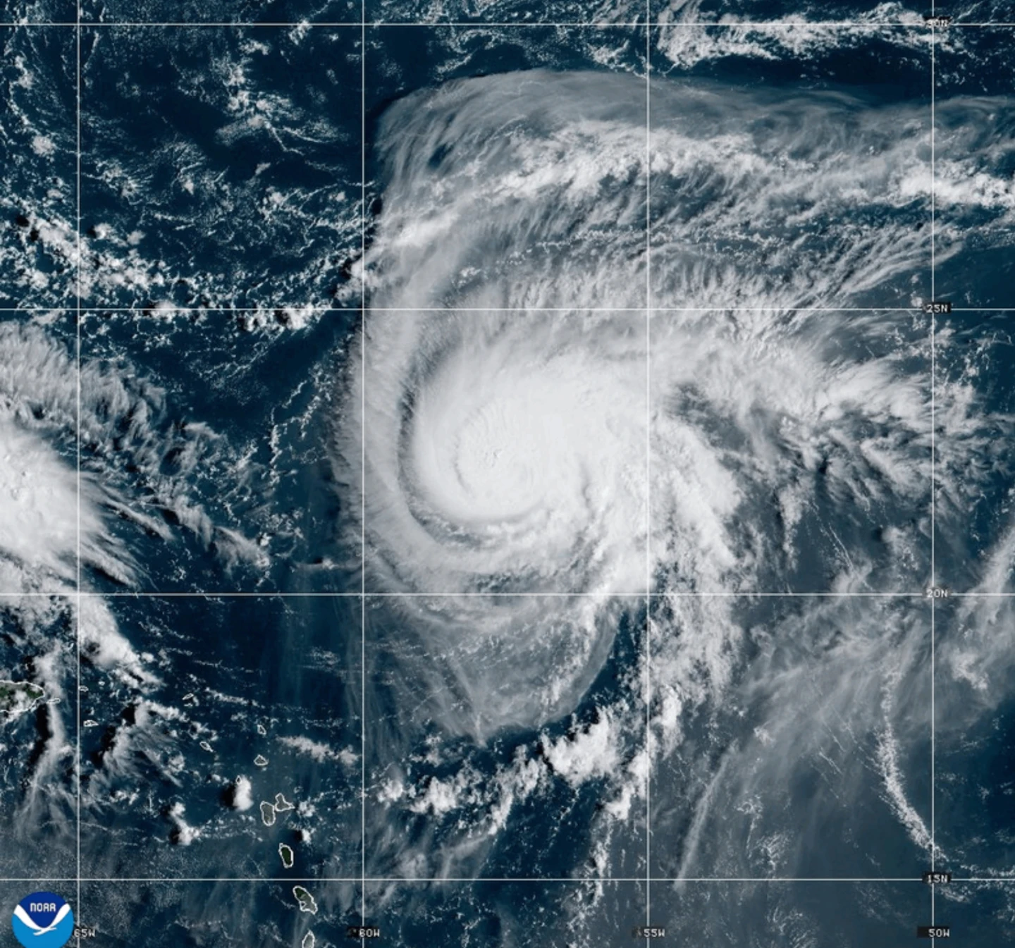
Forecasters predict that Gabrielle will maintain hurricane strength while passing through the Azores before gradually weakening over the weekend. However, strong winds are likely to persist in the aftermath of the storm’s passage.<\/p>
Damage from coastal flooding due to storm surge is expected in areas with onshore winds. Between Thursday and Friday, communities in the central Azores may receive up to 5 inches (13 centimeters) of rain, leading to possible flash flooding in mountainous regions. Expect 3 inches (8 centimeters) of rain in eastern and western parts of the islands.<\/p>
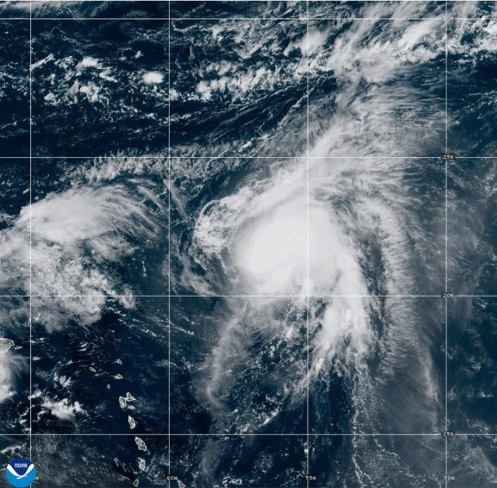
A related development includes Tropical Storm Humberto, rapidly forming over the Caribbean and projected to strengthen into a hurricane soon, adding to the weather challenges in the region. Residents in the path of both storms are urged to stay informed and prepared as conditions evolve.