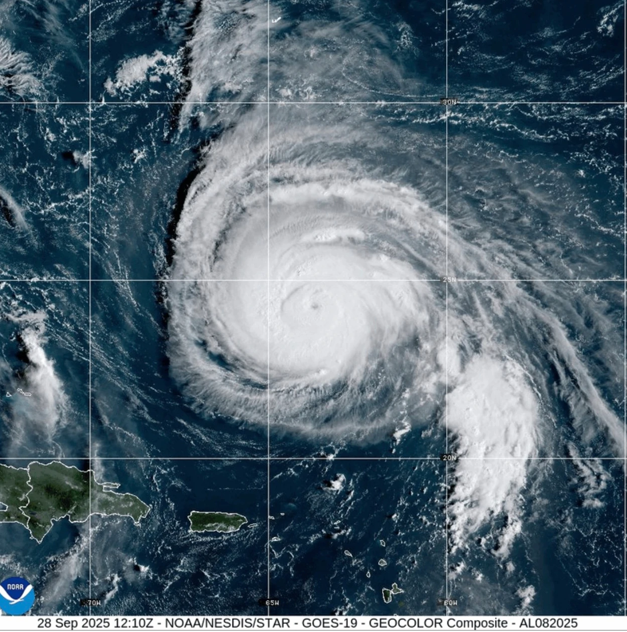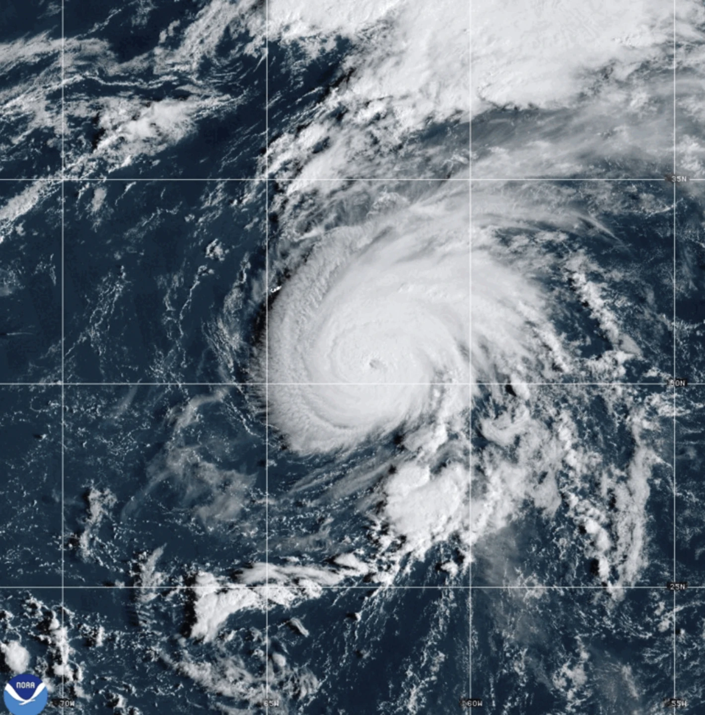
MIAMI (Echosphere) — A new storm named Hurricane Humberto has emerged in the Atlantic Ocean, with no immediate threats to land, while Hurricane Gabrielle has transitioned to a post-tropical cyclone after passing through the Azores, according to forecasters.
Humberto is currently situated approximately 465 miles (750 kilometers) northeast of the northern Leeward Islands and is moving slowly northwest. The National Hurricane Center based in Miami has indicated that Humberto is expected to significantly strengthen over the weekend, with predictions of it evolving into a major hurricane.
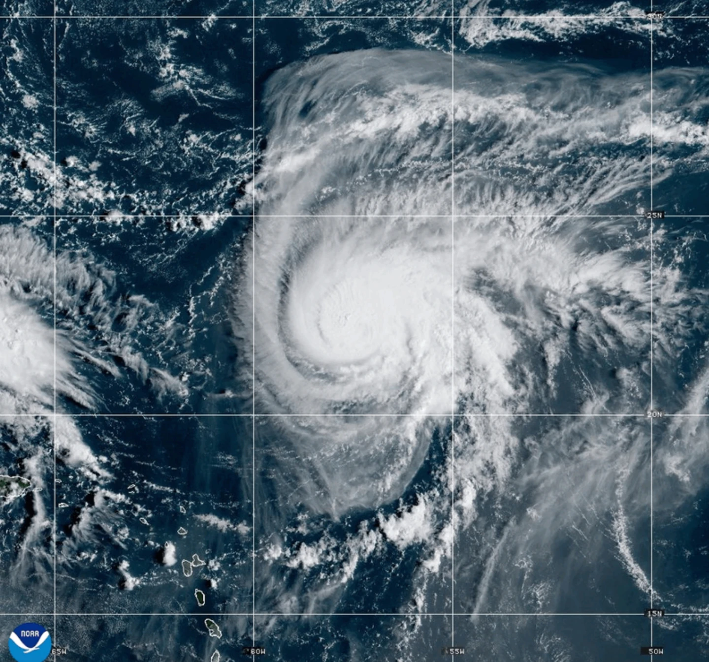
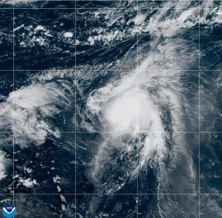
On the other hand, Gabrielle continues to churn as a post-tropical cyclone near the Azores, prompting a hurricane watch for the entire Portuguese archipelago. As of Friday morning, Gabrielle was located about 145 miles (230 kilometers) east-northeast of Faial Island.
With maximum sustained winds reaching 65 mph (100 kph) and stronger gusts reported, Gabrielle is expected to start gradually weakening by Saturday. The tropical storm force winds from Gabrielle extend outward up to 160 miles (260 kilometers), with certain observatories confirming sustained winds of 78 mph (126 kph), classifying it at hurricane levels.
Earlier classifications by the hurricane center noted Gabrielle as post-tropical, indicating the storm has lost its typical tropical characteristics. However, it still poses a risk of severe weather impacts through Friday.
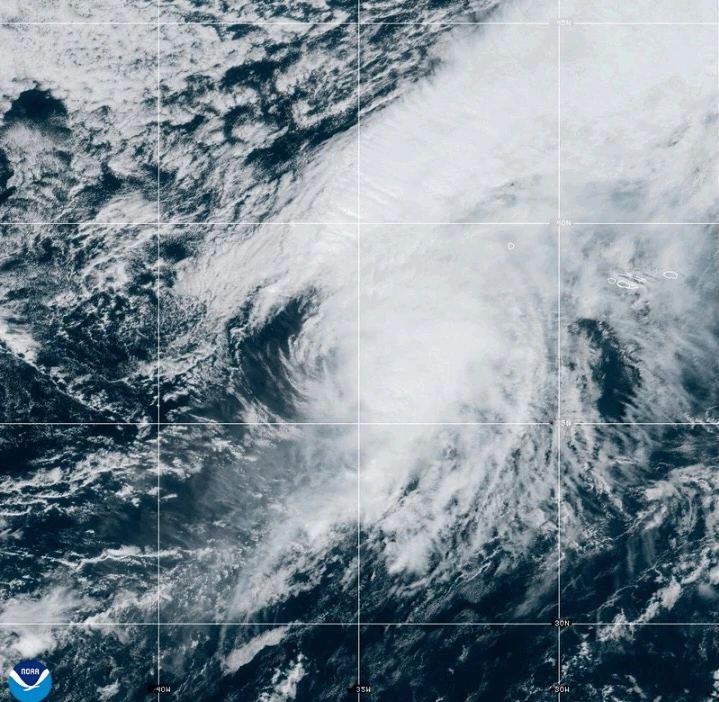
In the Pacific Ocean, Hurricane Narda, currently rated as a Category 1 storm, has the potential to strengthen back to Category 2, yet remains a non-threat to land, with expected weakening in the upcoming days.