In brief
Typhoon Bavi, the country's second in a week, is set to hit the eastern coast of China, prompting mass evacuations and warnings of up to 1 metre of rainfall. The storm, ranging 1,000 km at its widest, is a reminder of the growing intensity of tropical cyclones linked to climate change. Earlier this week, Typhoon Maysak left devastating damage in southern China, killing livestock and sparking rare tornadoes. Local authorities are bolstering infrastructure and emergency plans as governments seek to adapt to a future of more frequent and destructive storms.
Hundreds of thousands of people have been evacuated from eastern China as Typhoon Bavi, the country's second tropical cyclone in a week, barrels towards the coast.
Capturing more than 1,000 km (620 mi) at its widest point—roughly the width of France—the storm is expected to make landfall near the major city of Wenzhou on Sunday morning.
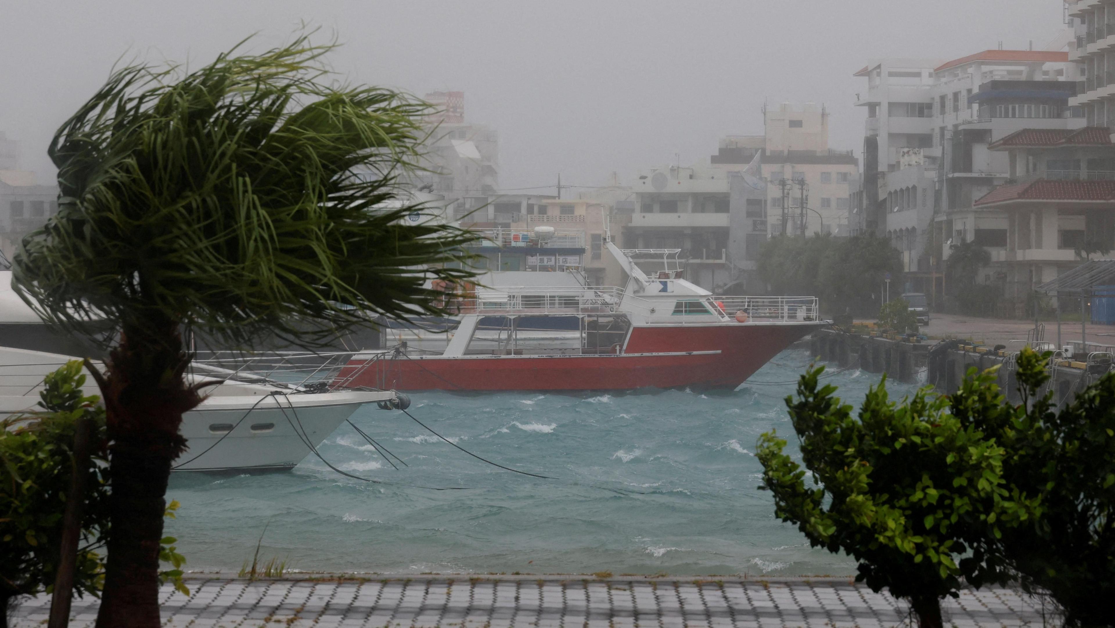
Bavi began as a super typhoon, whipping up 290 km/h (180 mph) winds in the Northern Mariana Islands, then weakened to a Category 1 system before striking the Pacific islands of Japan. It still carries a huge volume of moisture and is forecast to deliver "exceptionally heavy rains" to eastern Zhejiang and northeastern Fujian provinces.
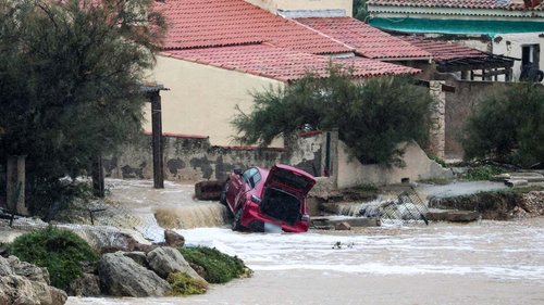
Local authorities have warned that up to 1 m (39 inches) of rainfall could fall, triggering flash floods, landslides, and infrastructure damage. Consequently, schools are suspended, flights cancelled, and supermarkets are being stocked to meet supply demands.
The storm follows the devastation of Typhoon Maysak, which earlier this week left at least 39 people dead, ruined livestock and caused massive agricultural losses in southern China. Maysak also spawned two rare tornadoes in central Hubei province.
This sequence of events highlights the increasing frequency and severity of tropical cyclones—a trend linked to rising global temperatures and sea‑level rise. Governments are urged to strengthen building codes, invest in climate‑resilient infrastructure, and improve early‑warning systems to protect communities more effectively.