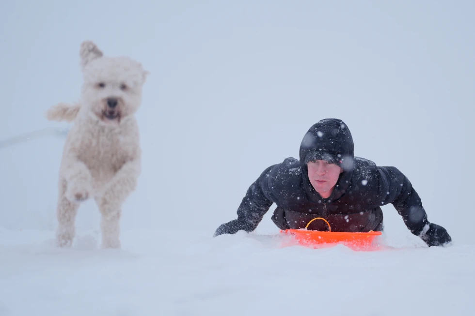
As travelers embark on the Presidents Day weekend, Northern California finds itself under a winter storm watch, especially in the Sierra Nevada region, anticipating several feet of snow. According to the National Weather Service, those planning to travel should expect \u201cmajor travel impacts\u201d and are advised to take \u201cextreme caution.\u201d
Dakari Anderson, a meteorologist with the National Weather Service's Sacramento office, indicated that the best travel window would be between Saturday and Sunday morning before the storm intensifies. Conditions remained calm early Saturday, but significant changes are expected Sunday afternoon, with communities at elevations of 3,000 to 4,000 feet preparing for 1 to 2 feet of snow.
Areas with higher elevations may experience even more substantial accumulations, potentially reaching 6 to 8 feet in locations such as Blue Canyon, which sits at 4,695 feet and is located roughly 51 miles west of Lake Tahoe. Anderson highlighted that while the most severe conditions will affect remote locations, populated areas can also expect considerable snowfall.
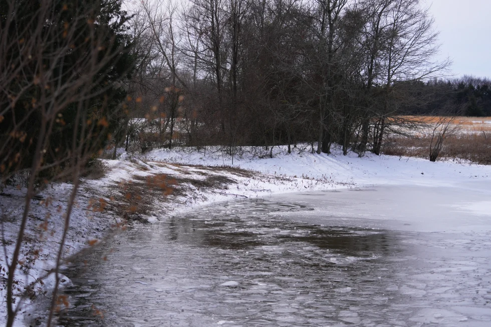
This winter storm is forecasted to affect not only California but also parts of Western Nevada and Southern Oregon, spanning several days and necessitating that travelers stay abreast of weather updates.