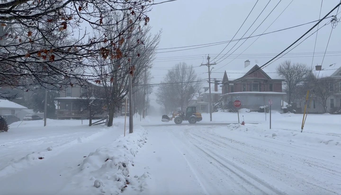
LANSING, Mich. (Echosphere) — The Great Lakes region is gearing up for a snowy Thanksgiving as a potent weather system unleashes significant precipitation, especially across Michigan's Upper Peninsula.
Continuing through Thursday, snowfall that commenced Wednesday is intensified by northern and northwestern winds. A blizzard warning is in effect for Alger County until 7 p.m. Thursday.
Predictions indicate the heaviest snow will occur west of Munising, with additional accumulation totaling up to 13 inches (33 centimeters) expected. As the day advances, the snow bands may begin to lessen in the western regions of the Upper Peninsula.
Lily Chapman, a meteorologist with the National Weather Service in Marquette, reported that her office recorded 15 inches (38 centimeters) of snow by Thursday morning. Reports from Bessemer, located approximately 113 miles (182 kilometers) east of Duluth, indicate that snowfall may reach between 18 to 28 inches (46 to 71 centimeters).
“Snow accumulation varies considerably depending on factors like elevation and where the more intense bands of snow are located,” Chapman explained.
Understanding Lake Effect Snow
Lake effect snow occurs when cold air from Canada interacts with the warmer waters of the Great Lakes. This climatic phenomenon results in thin cloud bands that can produce heavy and localized snowfall. The warm, moisture-rich air rising from the lakes significantly contributes to the potential for snowfalls of 2 to 3 inches (5 to 8 centimeters) per hour in some areas.
While Michigan, Ohio, and New York are particularly susceptible to this phenomenon, lake effect snow can also be observed over other large bodies of water, such as Utah's Great Salt Lake.
In one report, a site west of Bessemer in Wisconsin recorded an astounding 33 inches (84 centimeters) of snow early Thursday morning. Roy Eckberg, meteorologist with the National Weather Service in Green Bay, noted that local elevation creates ideal conditions for enhanced snowfall.
“With the combination of lake effect and the lift created by the terrain, this area can experience impressively high snow totals,” Eckberg added.
Travel Hazards on Thanksgiving
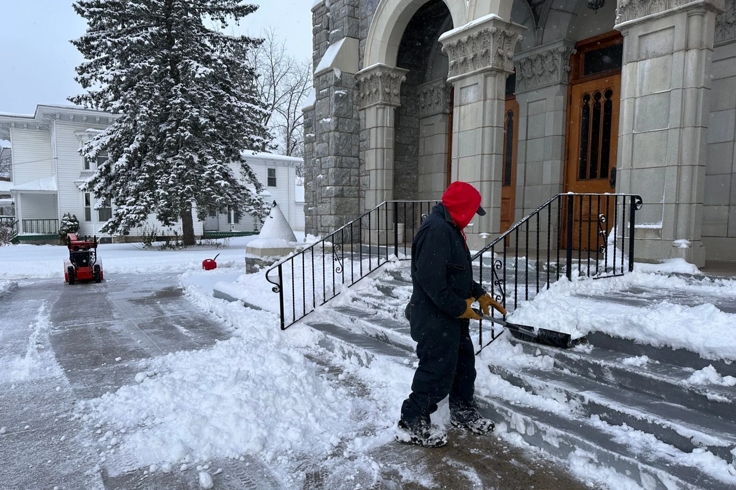
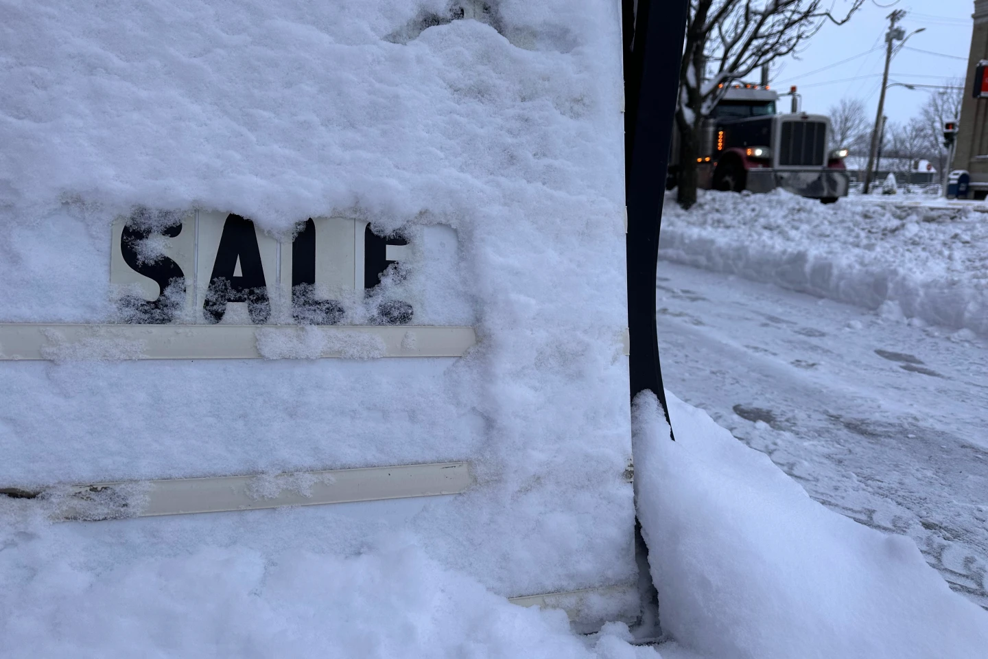
The dynamic bands of lake effect snow can create sudden whiteouts, making travel extremely hazardous. Reports indicate that conditions across the Upper Peninsula on Thursday included low visibility and significant challenges for motorists.
Compounding these dangers, strong winds reaching winds up to 45 mph (72 kph) threaten to create severe snow drifts over roadways and contribute to power outages. Over 1,000 outages were reported in the vicinity of Houghton, located about 100 miles (160 kilometers) west of Marquette.
Simiar outages were also documented by Consumers Energy near Lake Michigan's Holland area, about 170 miles (274 kilometers) west of Detroit. Forecasters in Grand Rapids anticipated about two inches of additional snow along with high wind gusts near the lakeshore, cautioning drivers against slick roads.
As Thanksgiving edges closer to the weekend, weather conditions are expected to ease from west to east, though another mild weather system might bring additional snowfall to the Upper Peninsula.
Additionally, light accumulation of 2 to 3 inches was reported near Buffalo, New York on Thanksgiving morning, with lake effect snow alerts remaining in effect until early Saturday morning.