In brief
After a series of intense heatwaves, satellite imagery shows Europe’s landscape in desperate condition: glaciers retreat, rivers dry, and vast stretches of land burn to ash. The EU’s Copernicus service confirms that June‑July 2026 was the hottest on record for western Europe, with high‑pressure systems amplifying the heat. Wildfires have claimed over 90,000 hectares in France, while fossil‑fuel‑driven climate change amplifies the frequency and severity of such events. Archived NDVI maps reveal widespread water stress across France, the UK and Germany—heightening concerns for agricultural resilience and food security. These real‑time insights serve as urgent call cards to mitigate climate impacts and adapt to a hotter future.
The February‑June heatwaves that have scorched western Europe are now visible from orbit. Copernicus and Satellite‑2 imagery expose shrinking glaciers, drying rivers, and kilometres of fire‑scarred land, marking a record‑breaking period of extreme temperatures across the continent.
Rivers Run Drier
The Danube has slipped to its lowest water level in three decades in several capitals. With low river stages, nuclear plants in Hungary and Romania have had to curtail cooling water usage, and German cargo ships are stranded while river cruises are cancelled.
Glaciers on the Move
The Rhône Glacier in Switzerland has retreated over 50 m compared to a year ago – a trend that experts say could be the most intense Alpine melt ever recorded. Dr Lander van Tricht warns that continued warming will dramatically reshape the Alpine ice stores.
Wildfires Transform the Landscape
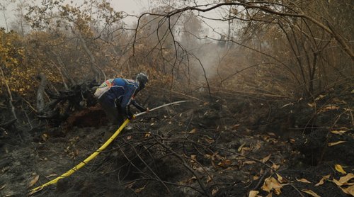
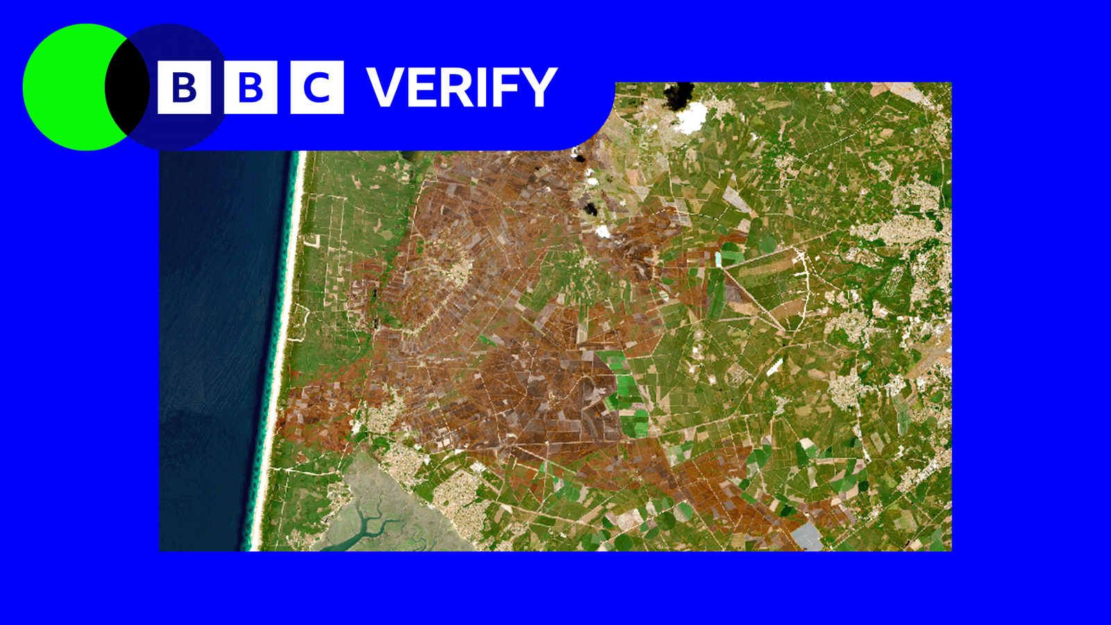
France’s fire‑season has seen 90,000 hectares consumed – the worst year on record. The gigantic blaze around Bordeaux covered more area than the Isle of Wight, leaving swathes of land blackened and grey.
Vegetation in Stress
NDVI maps reveal that roughly 70 % of France shows lower greenness than the 2021‑2025 average, signalling widespread water stress. Prof Andrew Challinor notes that if these conditions persist, European crops could suffer lasting damage, even if rains return.
The Take‑aways
Co‑ordinated climate action and real‑time monitoring are essential to stave off further loss of ice, water, and biodiversity. Citizens and policymakers should heed satellite data as a crucial tool for forecasting and mitigating the forces that make Europe's environment vulnerable.