
In brief
A powerful storm over the southwestern United States on Sunday prompted state officials in Arizona, Colorado, New Mexico and Utah to issue evacuation orders and warn residents of a flash‑flood risk that could linger through Monday. The warning comes as the region—still recovering from recent devastating floods—faces saturated soils and steep canyons that can produce rapid runoff. Meteorologists advise continued caution as heavy rains continue to test the area’s flood resilience.
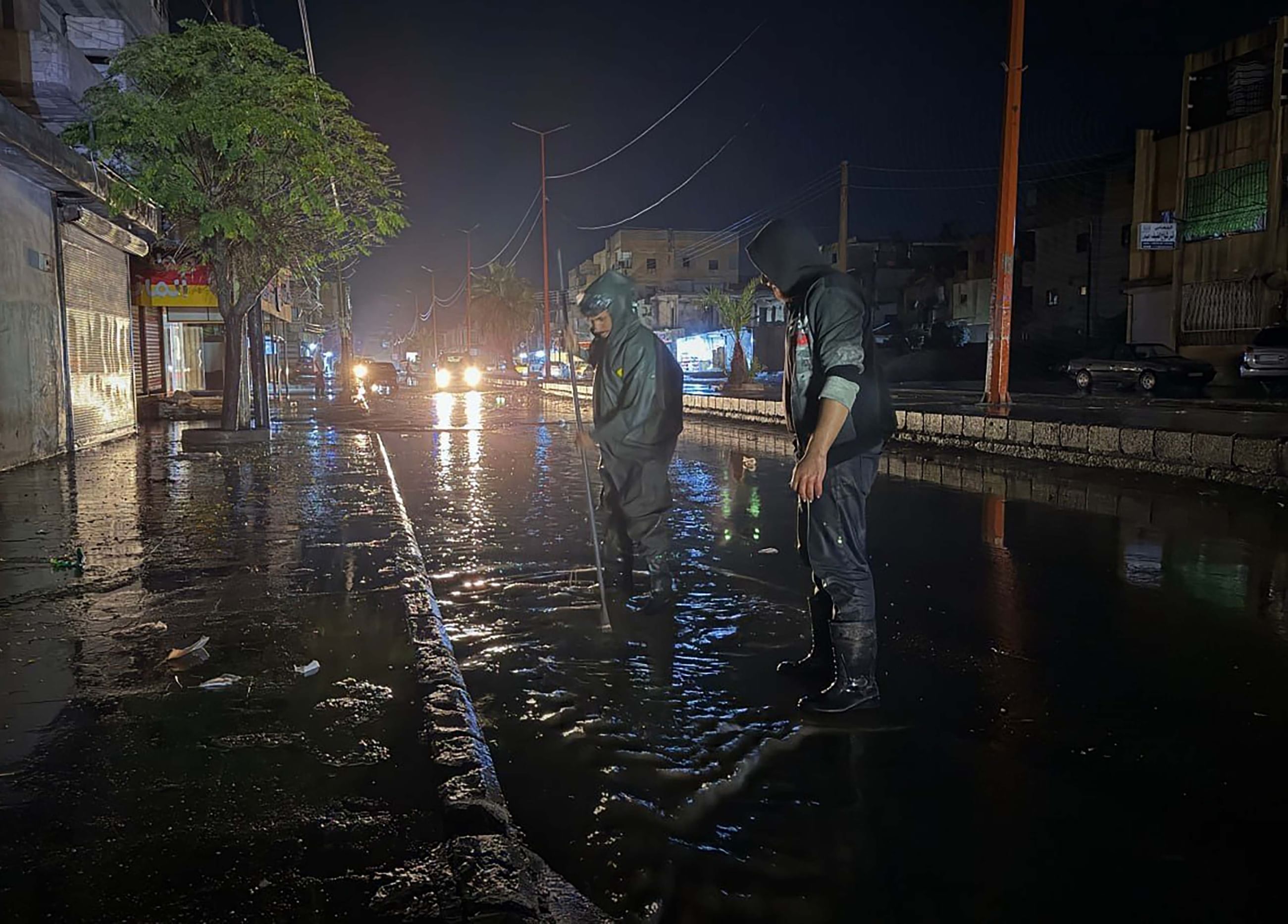
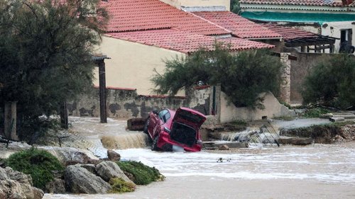
A powerful storm that swept through the southwestern United States on Sunday is causing state authorities in Arizona, Colorado, New Mexico and Utah to issue evacuation orders and issue flash‑flood warnings. The high‑rainfall event came as the region remains in recovery after recent devastating floods, leaving the ground saturated and the terrain vulnerable to rapid runoff.
In Arizona, state officials declared emergency conditions in sections of the state’s steep desert canyons, issuing evacuation orders to residents and businesses located in flood‑prone washways. Alerts were also issued in New Mexico, where flood‑watch conditions were in place across the western part of the state.
Colorado’s governor and local emergency management agencies recommended evacuation for residents living near narrow stream channels and canyon bottoms, where the threat of flash floods was classified as “high.” The state’s warnings covered portions of southwestern Colorado that sit adjacent to the Colorado River and its tributaries.
In Utah, officials urged residents of southern Utah to evacuate areas that had previously experienced flooding during the spring storm season. The evacuation orders were aligned with emergency warnings issued by the State’s Office of Emergency Management and the Weather Prediction Center.
Federal meteorologists said the storm generated heavy rainfall across these states, saturating the ground that was already water‑logged from the lingering inundation of last month’s catastrophic floods. They note that now-wetland soils cannot absorb much more water, increasing the likelihood of rapid runoff a cascade of flooding in the region’s steep corridors and narrow canyons.
In addition to the evacuation orders, state weather agencies released clear warnings that the threat of flash flooding is expected to persist through Monday, with the potential for intense rainfall late into the night. They encouraged people living within 1500 meters of a stream channel to monitor updates closely in case the situation worsened.
Experts state that steep terrain, along with damaged vegetation or partial loss of forested areas after recent wildfires, can accelerate the runoff process, providing little buffer for heavy rains to infiltrate the ground. This is especially noted in canyons that have undergone moderate erosion or loss of canopy cover over the past few months.
In the wake of these evacuations, local emergency agencies are coordinating with federal and state resources for sheltering, water rescue, and traffic control. Evacuation routes have been marked and barricades have been placed in front of road closures, and emergency personnel are positioned along the highest risk areas for rapid response if water levels rise further.
Community volunteers with wildfire recovery teams are also assisting, dispatching groups to test staging points for shelters and engage with populations who may be unexpectedly relocated. The collaborative effort aims to reduce the impacts of the new storm as it converges on an already strained landscape.
State emergency managers have issued a message encouraging residents to gather necessary supplies, including water, non-perishable food, medicine, and emergency kits, and to limit any travel into the vulnerable zones until official clearance is given. Cell phones should be stocked and communication lines remain open for updates.
The Weather Prediction Center’s forecast suggests that the storm’s impact, while severe, may gradually ease by Tuesday, allowing the local landscape time to recover before subsequent events. However, the center advises continued vigilance for heavy rain or flash‑flood signs even after official warnings end.
Despite the short- and long-term evacuation orders, the federal government has not yet requested additional resources from the National Guard. Local authorities are prepared, however, to request transportation assistance if the flood risk levels increase or if additional infrastructure repairs become necessary.
As the region battles the present storm, the broader context remains the same: after two days of directional weather that caused rapid rain, entire communities remain at risk for severe flooding in both the interim and longer time frames. The urgent step now, the officials confirm, is to prioritize the quick, decisive action of moving people to safety and working to mitigate the many cascading effects that thrive on saturated ground and steep, eroded riverbanks.