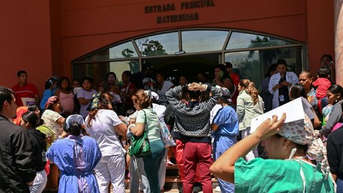

A 5.4‑magnitude earthquake struck Panama on Saturday, November 1, 2026, at 1550 GMT, with no damage or casualties reported, according to the German Research Centre for Geosciences (GFZ) and Xinhua. The earthquake’s epicenter was located at a depth of 10 km near 7.46° N latitude and 80.36° W longitude, placing it within Panama’s subduction zone on the Pacific coast.
GFZ, a German research institution specializing in geosciences, first announced the seismic event in its daily bulletin. The centre’s detailed report provided the magnitude, depth, and geographic coordinates, allowing the public and scientific community to assess the event’s characteristics quickly.
Immediately after the GFZ announcement, Xinhua, China’s state‑run news agency, released a concise news item summarizing the key facts. Xinhua’s article confirmed the 5.4 magnitude, the 10‑km depth, and the lack of any reported damage or casualties. The brief report served as an international relay of the GFZ data for a global audience.
There were no casualty reports, and no damage figures were indicated by either GFZ or Xinhua. The absence of damage likely reflects the earthquake’s comparatively shallow depth and moderate magnitude, though the source materials do not elaborate on any after‑shock activity or broader infrastructural implications.
Panama’s seismic activity is routinely monitored by institutions such as GFZ, which provide timely data on earthquakes and other tectonic events. While this particular event did not cause reported damage or casualties, the data are essential for understanding the country’s seismic risk profile and for maintaining preparedness protocols for future events.
Early warning and monitoring systems rely on the prompt transmission of seismic data from centres like GFZ to national and international stakeholders. These systems underpin societal resilience by offering information that can inform building codes, emergency planning, and public awareness campaigns.
In the broader context of ecological sustainability, the ability to measure and analyze seismic events supports coastal management strategies, especially in regions that combine sea‑level considerations with tectonic risks. Panama’s coastline, situated along a tectonically active plate boundary, benefits from continuous monitoring to safeguard environmental and infrastructural assets.
Environmental agencies and local authorities use seismic data as part of comprehensive risk assessment frameworks. By integrating natural hazard monitoring with climate‑change projections, communities can adopt adaptive measures that enhance both ecological resilience and human safety.
GFZ’s prompt reporting of the 5.4‑magnitude earthquake, coupled with Xinhua’s rapid dissemination to a global readership, exemplifies the critical role of scientific data sharing for environmental stewardship. Even when no damage occurs, the publication of full seismic details remains a vital tool for ongoing climate‑change adaptation efforts.
Looking ahead, the continued collaboration between research institutions, media outlets, and local governments will be key to maintaining robust monitoring systems that protect Panama’s environment and its people alike.