Humanitarian organisations and journalists have expressed concerns after a leading satellite imagery company told its users it was restricting access to images of Iran and large parts of the Middle East following a request from the US government.
California-based Planet Labs initially introduced a 14-day delay on providing new imagery from the region in March. It has since moved to an indefinite restriction.
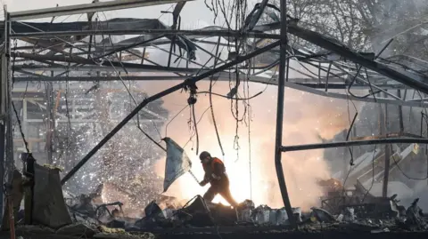
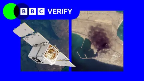
The decision has limited how journalists, humanitarian groups, and analysts can use satellite images to assess the impact of the US-Israel war with Iran, including damage to military targets and civilian infrastructure.
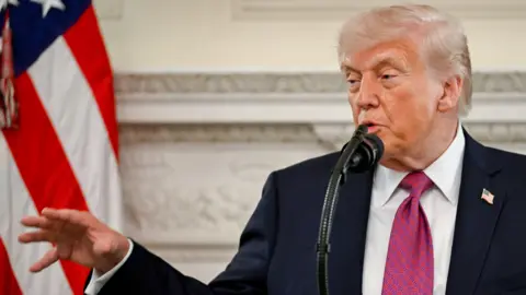
It is unclear what prompted the US to press Planet to suspend its coverage, and the Department of Defense did not respond to a request for comment.
Planet initially said its original 14-day delay policy was to ensure our imagery is not tactically leveraged by adversarial actors to target allied and NATO-partner personnel and civilians.
It said in a statement to BBC Verify that it was now switching to a system of managed distribution and would share selected images on a one-off basis until the security risk has abated.
It declined to say how extensive the restrictions were. But based on BBC Verify's access to the portal, it appears to extend across most of the Middle East, including Iraq, Lebanon, Israel, and Gaza.
One satellite imaging expert noted that companies like Planet that have military contracts can sometimes implement voluntary compliance requests driven by commercial incentives.
BBC Verify has used Planet imagery across the Middle East in its reporting, including since the war in Iran began at the end of February.
These changes mean that images taken after 9 March are no longer routinely available to the company's clients.
Satellite imagery has become a key tool for reporters to investigate conflict zones, especially where access is limited or information tightly controlled. This is particularly true in the contexts of disasters and conflicts.
Planet's business model includes working with US defense sectors, military contracts, and international military organisations.
Concerns have been raised about the implications of commercial dependence on military contracts and the impact of restricted access to satellite data on humanitarian efforts. The charity Oxfam stated that it relies on satellite imagery to manage logistics during conflicts and assess damaged infrastructure.
The restrictions have sparked debates about the transparency of military operations and the need for reliable satellite imagery in crisis zones.