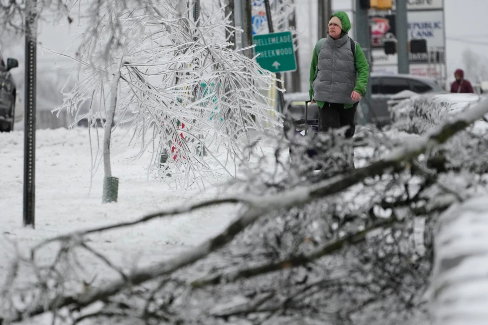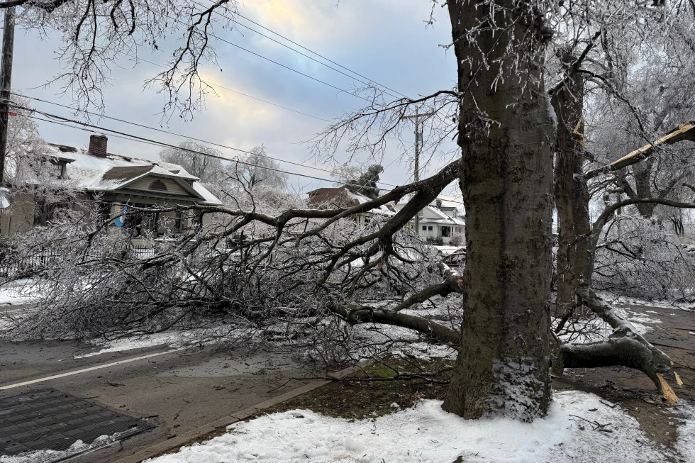
A wild winter storm is expected to bring strong winds, heavy snow, and frigid temperatures to the Great Lakes and Northeast on Tuesday, following a bomb cyclone that has wreaked havoc across the northern U.S., leaving tens of thousands without power.
The intense storm that hit parts of the Plains and Great Lakes on Monday introduced sharply colder air, strong winds, and a mix of snow, ice, and rain that led to hazardous travel conditions. It intensified rapidly, meeting the criteria for a bomb cyclone, defined as a weather system that strengthens swiftly as atmospheric pressure drops.
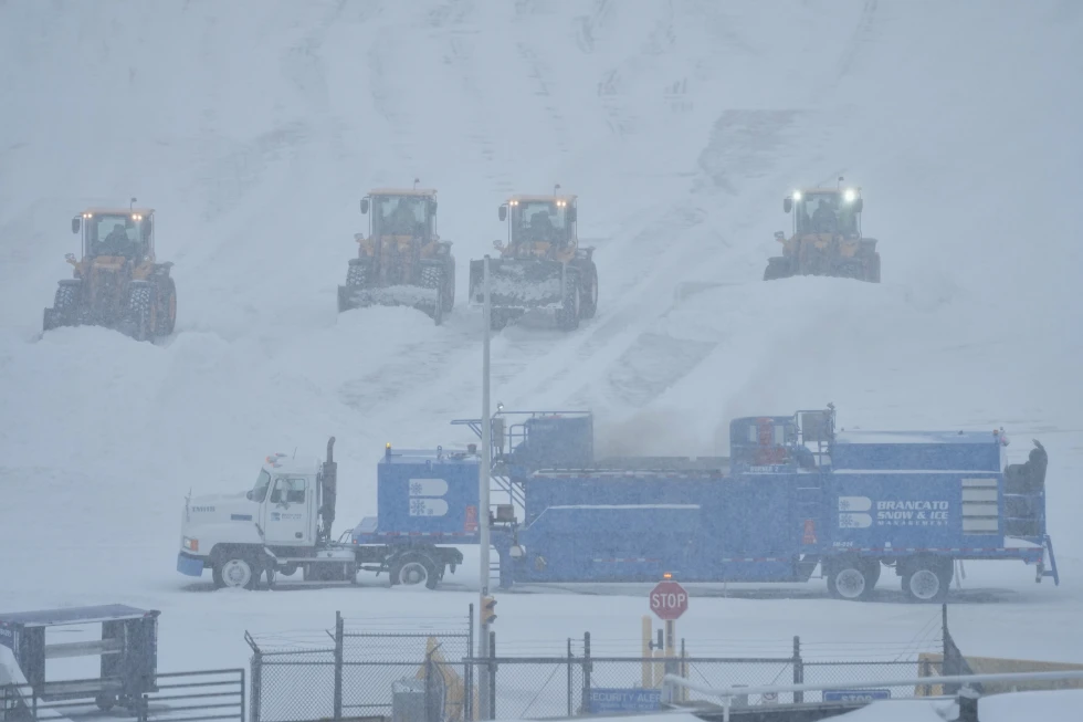
As of early Tuesday, over 153,000 customers were without power across the nation, with a significant portion in Michigan according to reports from Poweroutage.us.
As Monday's storm progressed into Canada, the National Weather Service announced additional severe weather conditions forecasted for the Eastern U.S., such as rapid bursts of heavy snow and strong winds known as snow squalls.
New York Governor Kathy Hochul has warned residents that whiteout conditions are expected on Tuesday in certain areas of the state, including the Syracuse metro region.
Travel is strongly discouraged if you are in an impacted area, the Governor urged in a message on social media.
In Michigan's Upper Peninsula, snow piled up quickly with some locations receiving as much as 2 feet (60 centimeters). Meteorologist Ryan Metzger from the National Weather Service mentioned that while additional snow is likely in the upcoming days, the overall totals are expected to be much lower.
Winds on Lake Superior surged to heights estimated at 20 feet (6 meters) on Monday, prompting cargo ships to seek refuge in harbors. Such weather forecasting improvements since the tragic sinking of the Edmund Fitzgerald in 1975 have significantly enhanced safety protocols for maritime operations.
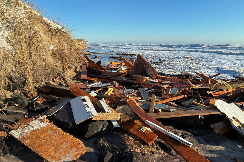
Strong winds over Lake Erie led to unusual water levels, exposing submerged lakebed sections and even remnants of old infrastructure. Kevin Aldrich, a maintenance worker from Monroe, Michigan, recalled being astonished by the visibility of wooden piers dating back to the 1830s, which under normal conditions remain well submerged.
Regions across North Dakota and Minnesota faced dangerous wind chills dropping to as low as minus 30°F (minus 34°C) on Monday. West Virginia recorded exceptionally high winds near Dolly Sods.
In contrast, areas of Iowa remained impacted by high winds that continued to shift fallen snow across roadways, leading to closures of over 200 miles (320 kilometers) of Interstate 35 following blizzard conditions. Reports indicated numerous accidents, including one that resulted in a fatality.
Meanwhile, in Southern California, the National Weather Service has predicted moderate to strong Santa Ana winds, raising concerns for downed trees, particularly following recent storms. Looking ahead, two more storms are expected this week, which could potentially bring rainfall to the Rose Parade in Pasadena for the first time in nearly two decades.