
In brief
On Friday, unnamed coastal storms combined with record high king tides have resulted in significant flooding in Charleston, South Carolina. Emergency services have alerted residents of further possible flooding as the Outer Banks braces for bad weather. Meanwhile, Tropical Storms Priscilla and Raymond threaten heavy rains across the Pacific coast, potentially leading to detrimental flooding in the U.S. Southwest.
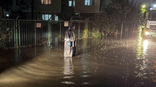
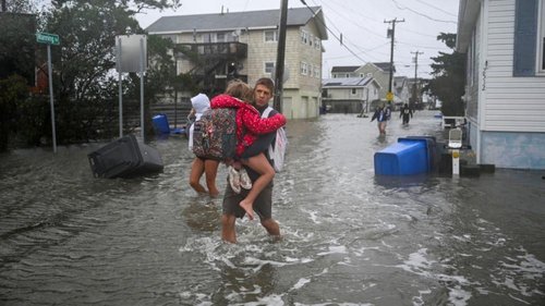
As the East Coast braces for turbulent weather, an unnamed storm coupled with unusually high king tides has resulted in flooding on the Carolina coast this Friday. In Charleston, South Carolina, approximately a dozen streets are submerged, and local officials are offering free parking in designated garages.
A high tide of 8.5 feet (2.6 meters) is forecasted, potentially marking the 13th highest level observed in more than a century of records for Charleston Harbor. With the impact of these tides, the vulnerable Outer Banks region is also at risk for significant flooding due to ongoing severe weather conditions that are expected to escalate this weekend.
Forecasters predict that the Outer Banks could experience the brunt of the inclement weather, urging caution for residents traveling along highway N.C. 12 due to risks of ocean overwash. Once again, closures may be required for safety.
In the Pacific, Tropical Storms Priscilla and Raymond are brewing intense rains along the Mexican coastline, and Priscilla poses risks of flash floods that could affect regions in the U.S. Southwest, following flood watches in parts of Arizona, California, and Nevada.
As Priscilla tracks north with sustained winds of 50 mph (85 kph), it could severely impact vulnerable areas beyond the borders of Mexico. Meanwhile, Raymond, centered near the coast of Mexico, is anticipated to approach Baja California with similar wind speeds and risks.
On the Atlantic side, the storm Jerry is passing the northern Leeward Islands, causing heavy rains and potential power outages in Guadeloupe while ongoing warnings alert nearby islands of impending storm conditions.
To wrap up an already tumultuous forecast season, the return of the **La Nina** cooling pattern in the Pacific comes as a signal for volatile weather events worldwide, impacting not only tropical formations but generating varied effects ranging from floods to droughts globally. Meteorologists warn there are still about seven weeks remaining in the current Atlantic hurricane season, making preparedness crucial for coastal residents.