Hurricane Polo has rapidly intensified off the coast of Mexico, becoming one of the season’s most powerful Pacific storms. It now holds Category 5 status under the Saffir–Simpson scale.
A NOAA Hurricane Hunter aircraft measured sustained winds of about 180 mph (285 km/h), with even stronger gusts detected within the eye. NOAA’s National Hurricane Center described the intensity jump over 24 hours as “truly remarkable.”
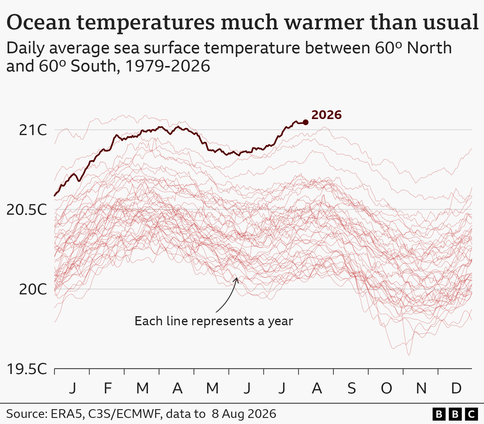
The slow‑moving storm is feeding on extremely warm ocean water, fueled by the strongest El Niño on record. Daily sea‑surface temperatures in a key Pacific region are 3.05 °C above average, surpassing 2015’s peak of 3.02 °C. Warmer water supplies the energy that drives higher wind speeds and larger rainfall totals.
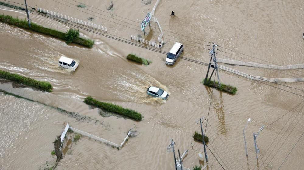
NOAA predicts Polo will skirt, but not cross, Mexico’s south‑western coast. The cyclone will bring torrential rain of up to 6 in (15 cm), with some areas expecting 8 in (20 cm). These conditions raise the risk of flooding and mudslides in Jalisco, Colima and Michoacán.
Mexico’s President Claudia Sheinbaum urged coastal residents to remain vigilant, stressing that the storm’s impact will be felt even without a landfall. The slow northwest drift leaves communities exposed to large swells and life‑threatening surf for several days.
Scientists note that El Niño’s peak intensity may rise later this year, potentially creating a “very conducive” environment for further powerful storms. The natural climate pattern, which cycles every few years, can temporarily alter trade winds and spread warm waters across the Pacific, magnifying global weather variability.
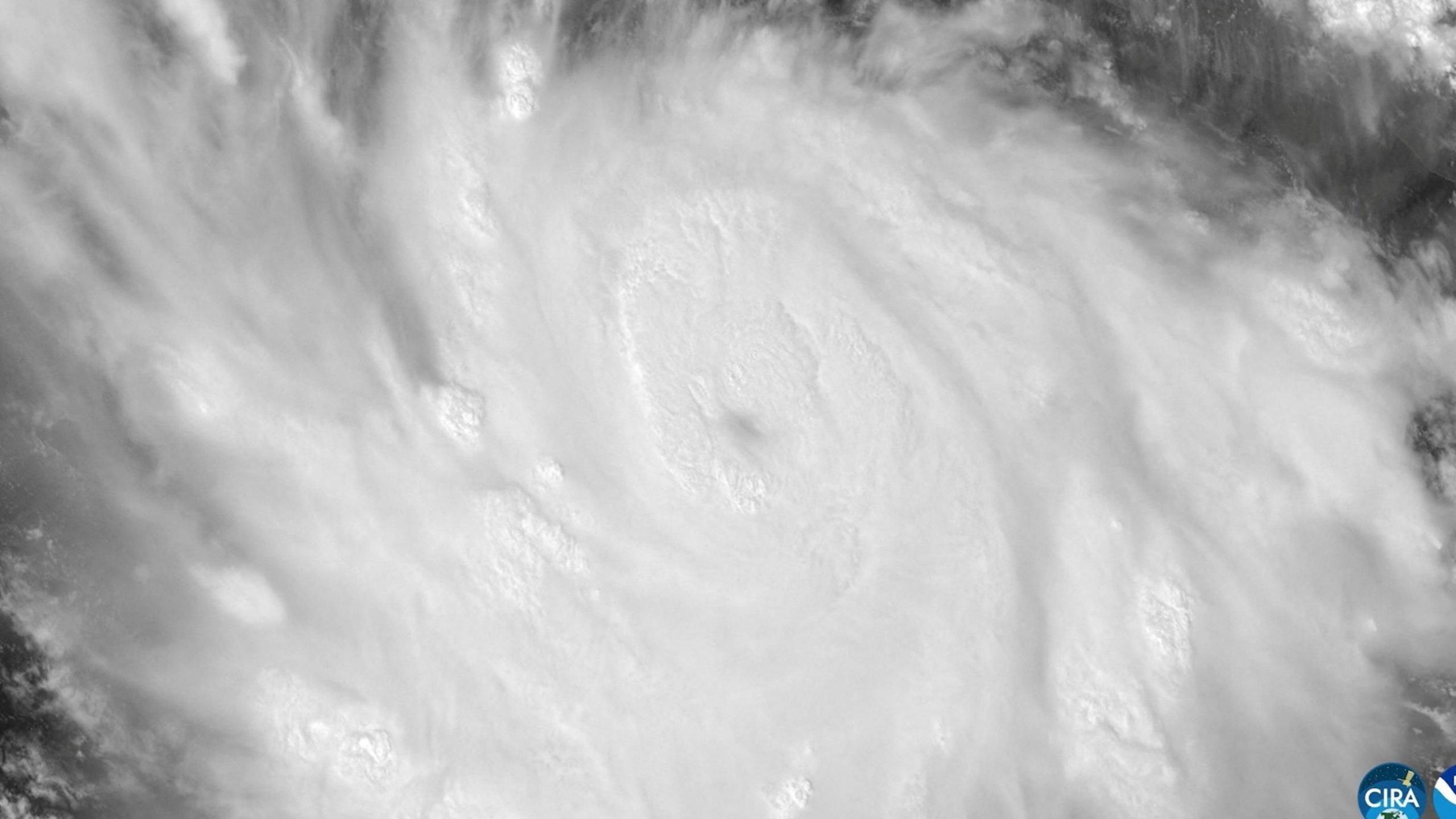
Visual aid: A satellite image shows Polo’s core structure sharpening as it near the Mexican coast.